The Beit Netofa Valley
Looking south across the valley from atop Cana. The Beit Netofa runs east/west across a large portion of the Galilee. The little squares in the valley are hay bales that are approximately 4 ft. tall. Thistles are the primary vegetation in the foreground.
Barry is showing Doug something on the camera. Doug is setting up the GPS for the day. He takes all of the elevations and stakes out all the squares using the GPS. It's linked to a "mother ship" tripod on the top of the tell which in turn is linked to the satellites.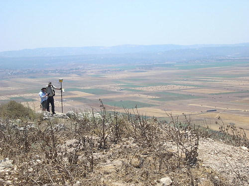
![]()
1 comment:
that is Gorgeous!
Post a Comment