The southeast slope
Drawing a top plan for a square to be opened which contains some sort of feature that was carved into bedrock. At first we thought they may have been graves, but now it appears they may be associated with some sort of industry. Doug is carrying the GPS downslope to map something in.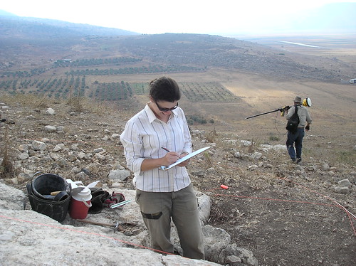
![]()
No comments:
Post a Comment